Photos
Québec
Sentier National dans la Mastigouche
IMG_20170521_151214.jpg
< Précédent
Plein écran
Taille originale
dimanche 21
mai
2017
15:12
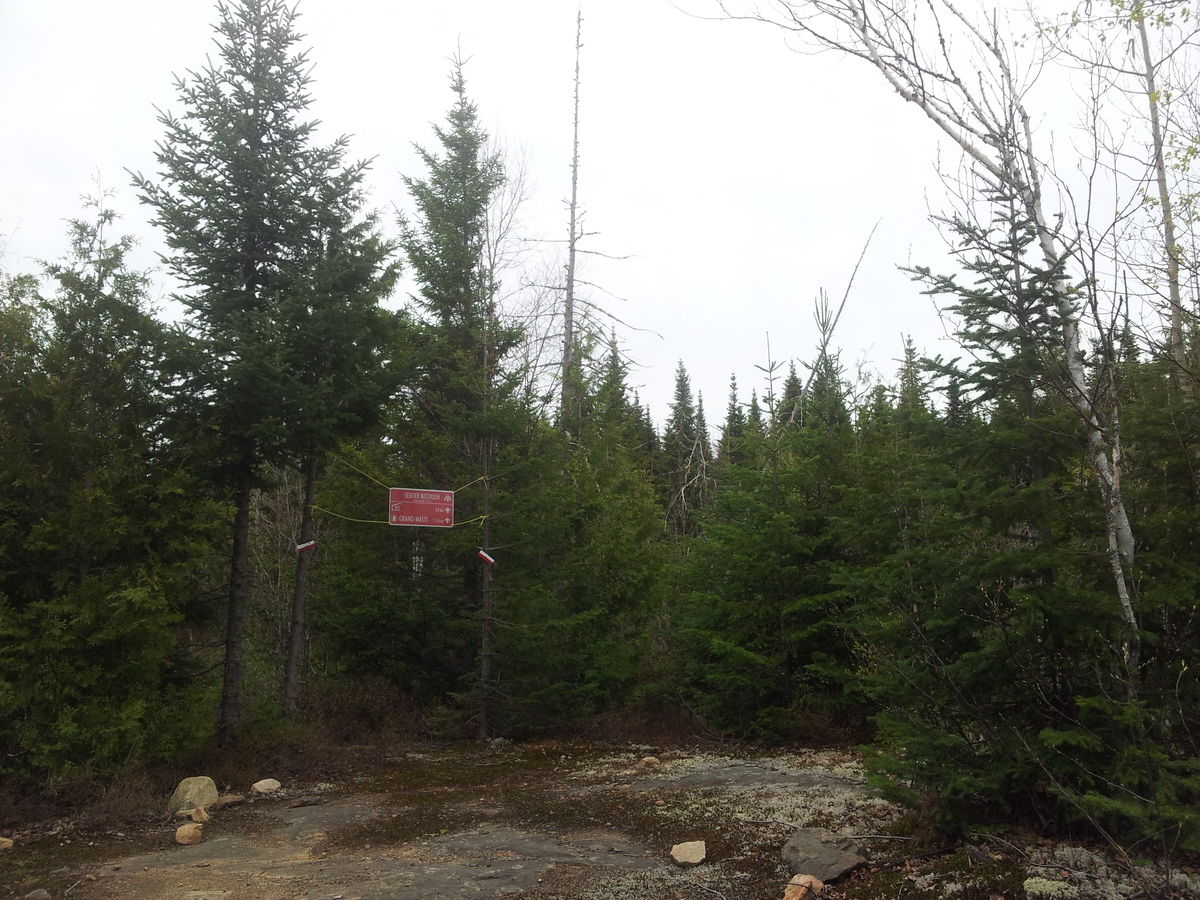
Début du sentier Chériore