Photos
2021
Haute-Ariège
IMG_20210827_201626.jpg
< Précédent
−
Suivant >
Plein écran
Taille originale
vendredi 27
août
2021
20:16
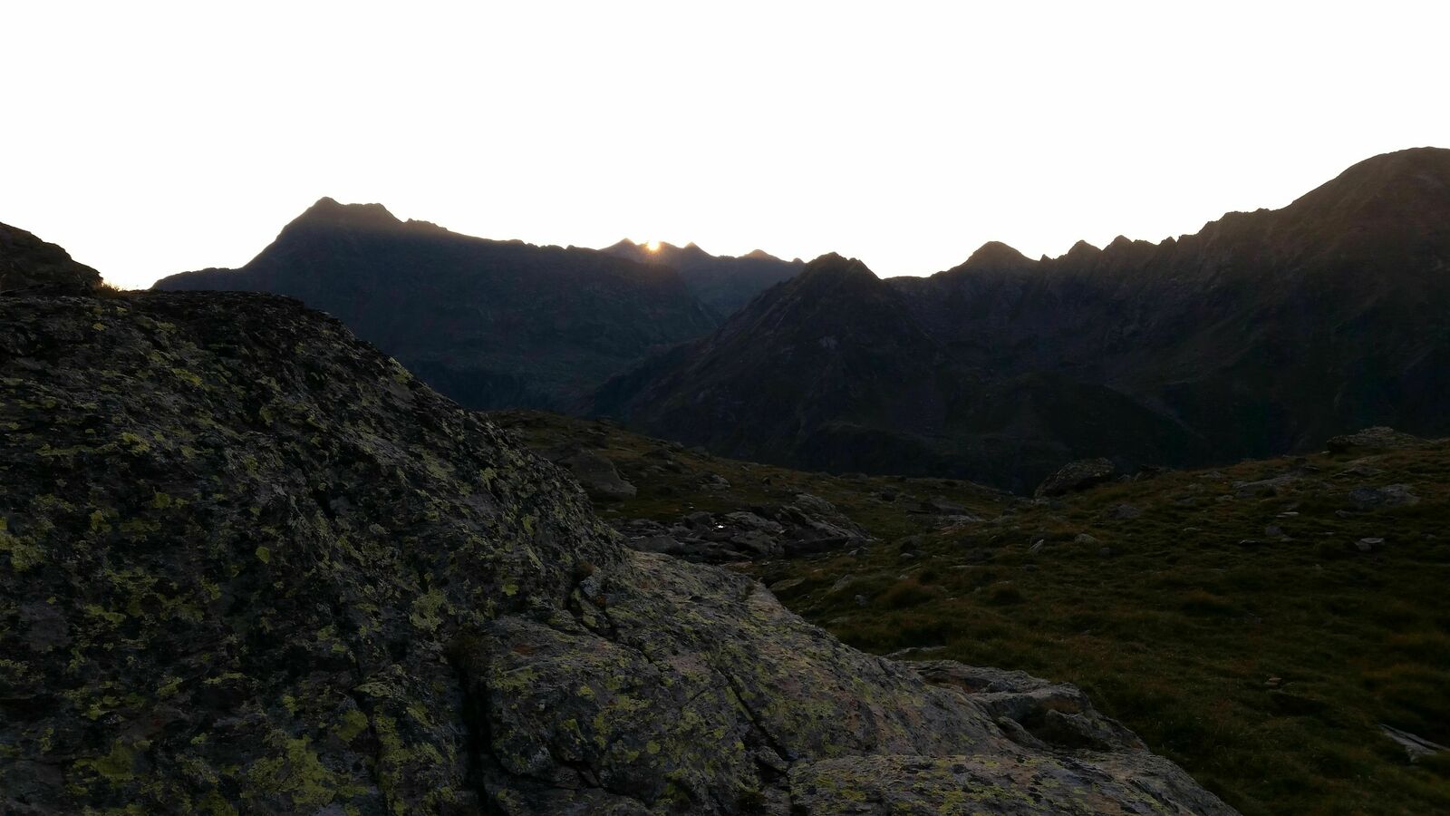
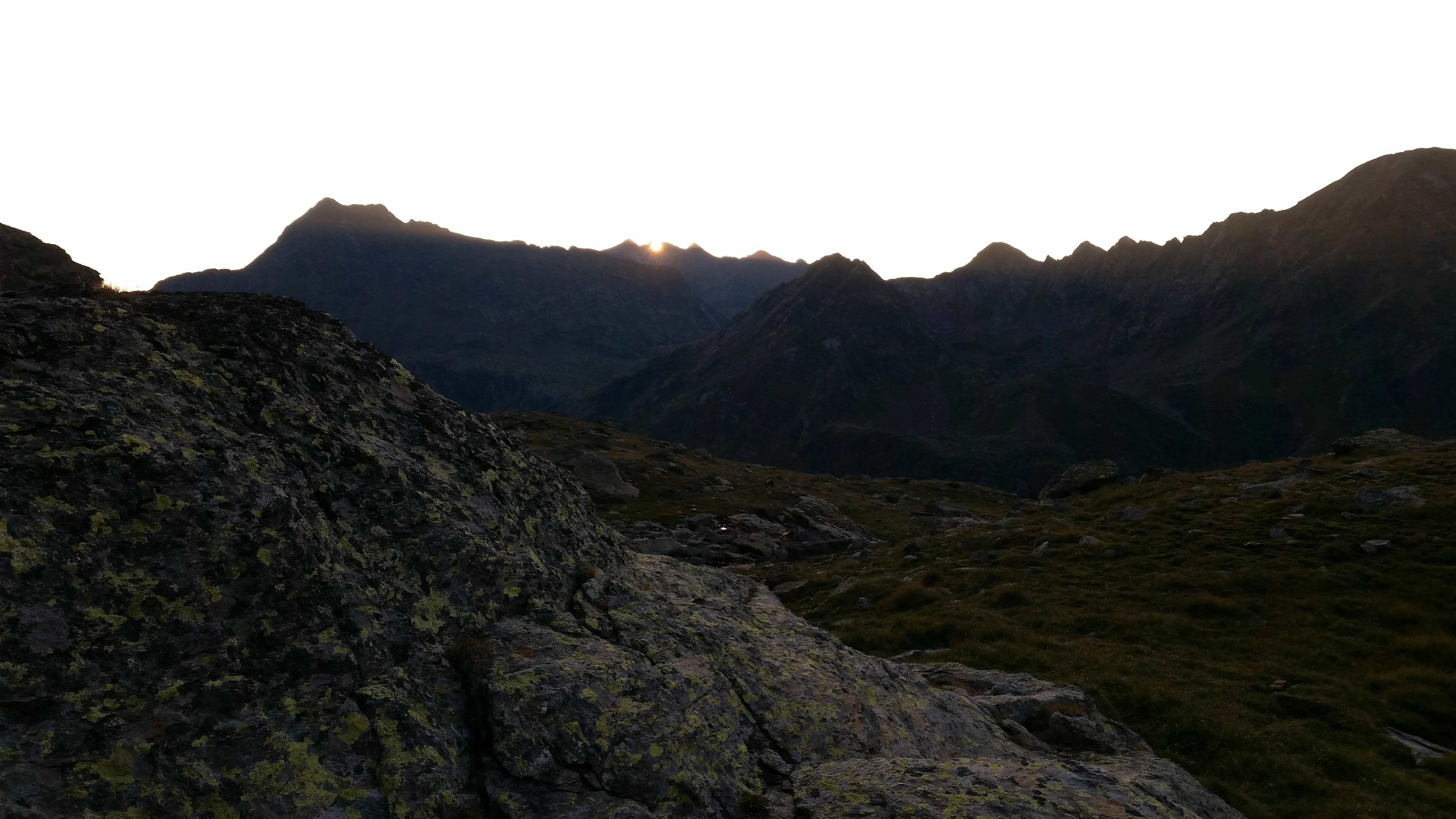
Bivouac à l'étang du Rouch