Photos
2014
Traversée de Lure au Vercors
DSC01183.jpg
< Précédent
−
Suivant >
Plein écran
Taille originale
samedi 24
mai
2014
14:01
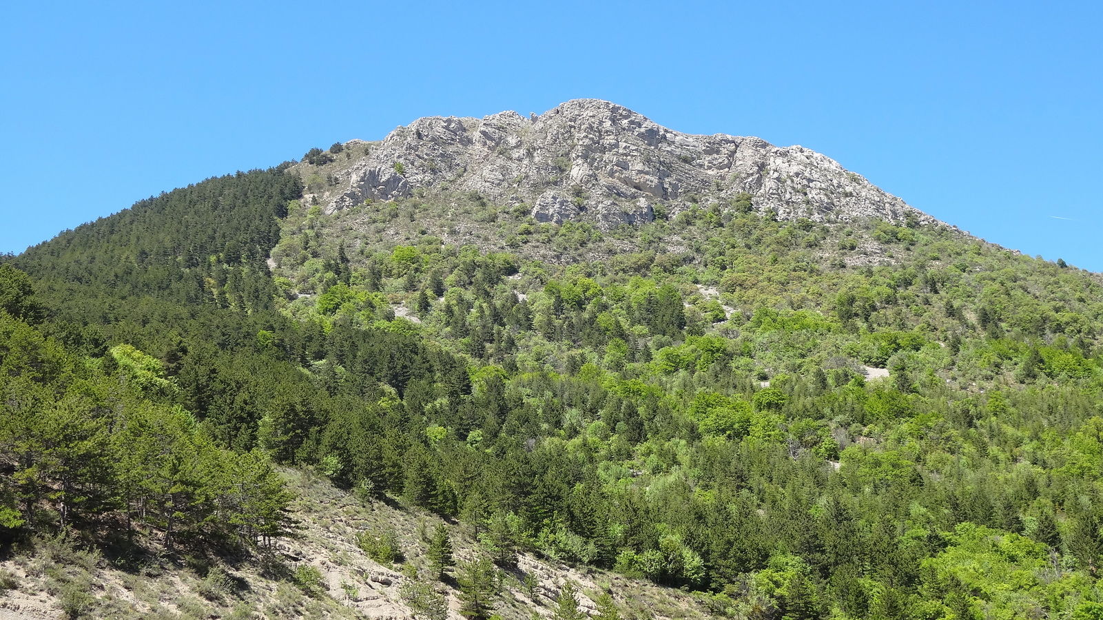
Sommet de la crête de l'Âne